D. G. Beers & Company published a detailed map of Warren County, KY in 1877. This map is very detailed showing numerous families that lived here after the Civil War.
The map shows that the county was divided into 9 voting precincts:
The map has inset maps of 7 communites:
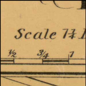
The map also shows a number of other details including: road names, business owners, population, and other map features.
This website has taken the larger Warren County map and divided it into smaller more readable maps. The links on the left side of the page will direct you to the smaller maps. The map of the city of Bowling Green was divided into four smaller maps due to the small details that were hard to read.
You can double click any map to see a larger view of that map. The names and map features on the map are indexed to provide an easy way to locate them. The maps are divided up into a grid system: (A,1) thru (AL,54). Under each indexed map is a check box to display the grid system and a second check box to display the map items. A search bar is provided that allows you to search for individual names.